
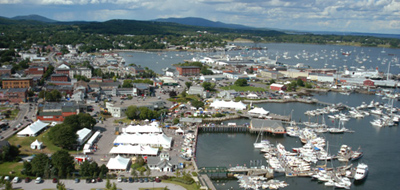
 Aerial view of the Maine Boats, Homes and Harbors Show.
Photo courtesy of Scott Horty
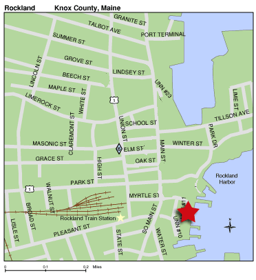
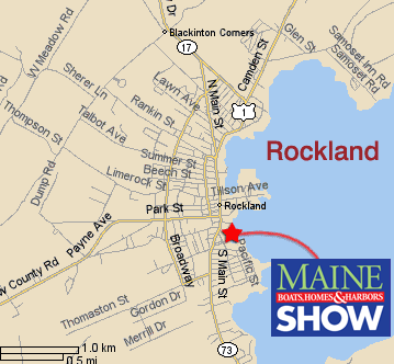
By land: From points northwest (Augusta, Waterville) Route 17 comes directly into the northern side of the city of Rockland, the show is located on the southern side. From the south (Portland, Brunswick/Bath) Coastal Route 1 comes right in to Rockland. (Do NOT take the Route 90 turnoff in Warren, stay on Route One through Thomaston to Rockland.) Take a right at the Main Street light, the main show entrance is on the left, or go straight at the light to the Buoy Park entrance. |
|||||
By rail: The train station is about one block from the main gate to the show. |
 |
||||
| By water: NOAA chart 13302, "Penobscot Bay and Approaches", or Maptech Waterproof Chart #40, "Rockland to Mount Desert Island". Rockland Harbormaster: 207-594-0314. |
 |
||||
|
|||||